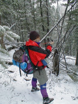
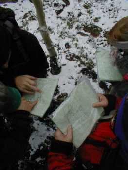
On the Navigation Field Trip, two students at a time will lead their group to predetermined points on a map. Each group will be required to find a number of points, and then find the cars at the end of the day. The techniques of using a map, compass, and natural features for navigation will become second nature by the end of the day.
The Navigation field trip includes a refresher on the basic techniques of using a map and compass. You will also need some common sense to find your destination. Because this is the first outing of the year, it is not uncommon to have cold and snowy weather. Remember, no field trips will be canceled due to weather, except for the Third Rock Day, so be prepared.
You will have ample opportunity to review the topics of magnetic bearings vs.  true bearings, declination compensation, and orienting the map to the surrounding terrain. You may also need to use techniques of approximating distances by counting paces or using time estimates.
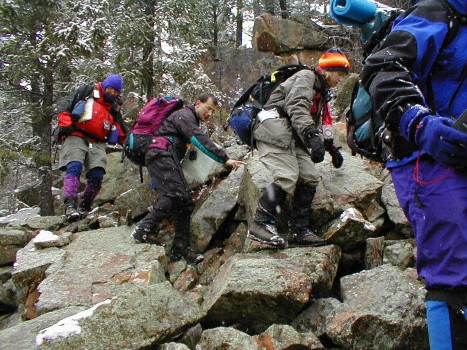
 Much of the terrain is difficult to cover and may include large changes in elevation. You may have to navigate around features such as lakes and cliffs. This will be the first opportunity for the instructor to find out about the group’s strength, stamina, and endurance. The Navigation Field Trip is equivalent to a moderate “B” hike, covering about 8-9 miles and at least 2100 feet of elevation gain.


